JMJ Propulsion Labs delivers advanced Smart Farming solutions that leverage unmanned aerial systems (UAS), AI-driven analytics, and sensor fusion to support next-generation agricultural resilience. Designed to help government agencies, research institutions, and commercial growers optimize yields and manage resources, our smart farming services transform traditional operations into precision-driven, data-enhanced ecosystems.
Precision Agriculture Solutions
At the core of JMJ’s smart farming services is our ability to deliver precision agriculture insights using drone-collected multispectral and thermal imagery. Our UAS platforms generate detailed vegetation indices, canopy maps, and topographic overlays—allowing for accurate crop health monitoring, irrigation planning, and input optimization. These insights reduce costs and improve sustainability outcomes across varied agricultural environments.
Our precision solutions are adaptive, designed to scale across commodity crops, viticulture, specialty produce, and regenerative farming zones. From smallholder farms to federal agricultural research fields, JMJ enables growers to move from guesswork to data-backed decisions with confidence.
Unmanned Aerial Systems & Sensor Integration
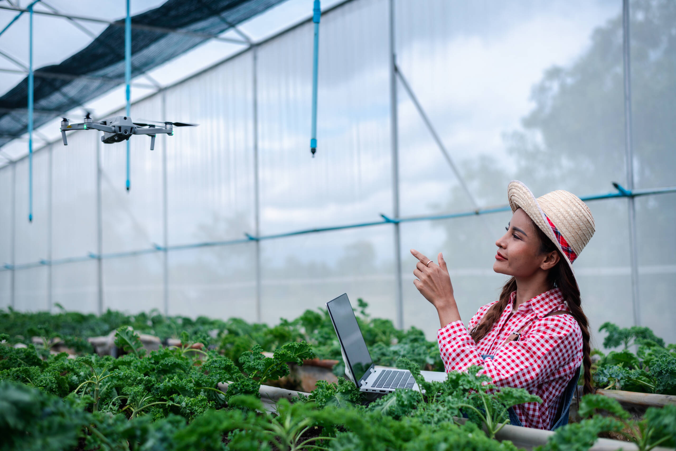
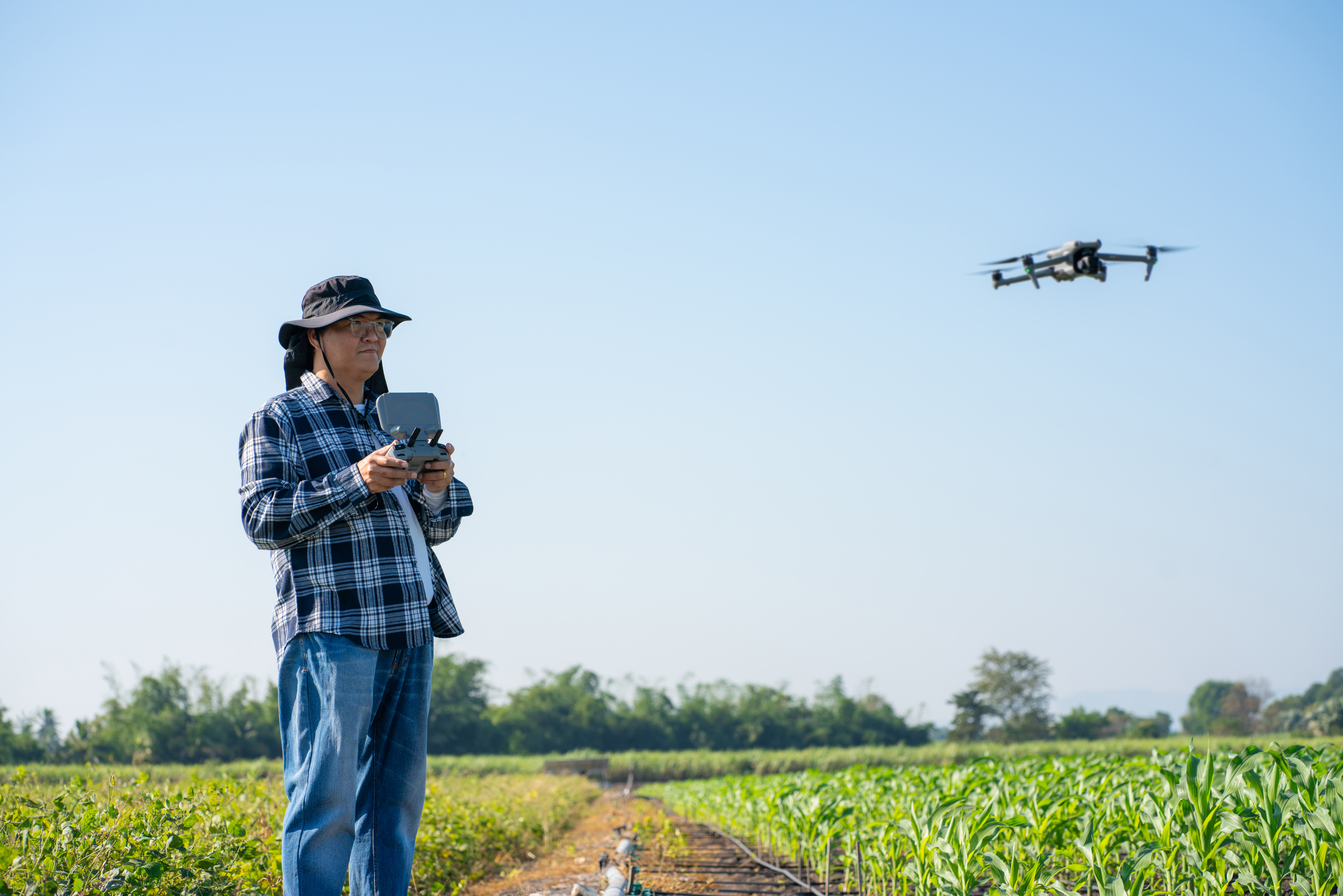
JMJ deploys UAS platforms equipped with high-resolution RGB, multispectral, hyperspectral, and thermal sensors to capture detailed aerial data across large acreage in a fraction of the time required by ground-based methods. We integrate this data with soil sensors, weather stations, and IoT-connected field devices for a holistic farm intelligence platform.
All platforms are compliant with FAA Part 107, NDAA Section 848, and the Buy American Act—making them suitable for federal grant-supported programs and agency use. Our drones are optimized for long endurance, obstacle avoidance, and variable flight patterns suited to unique crop geometries.
Data Analytics & Predictive Modeling
We combine aerial imagery with machine learning and geospatial analysis to deliver predictive models for disease forecasting, pest detection, and nutrient stress. Our dashboards visualize time-series crop trends, enabling early interventions that minimize yield loss and maximize operational efficiency.
We also support integration with USDA conservation tools, carbon sequestration tracking, and sustainability reporting frameworks to align with federal and international climate goals.
Agricultural Risk & Resilience Mapping
JMJ helps public agencies and large-scale producers assess climate risk by mapping erosion potential, flood-prone areas, fire vulnerability, and drought patterns. We assist in disaster recovery programs by rapidly deploying drones post-event to document crop loss, validate insurance claims, and support FEMA/state-level assessments with geotagged imagery.
We also support food security initiatives, helping local governments monitor growing conditions, track productivity, and flag systemic yield failures for timely intervention in underserved regions.
Workforce Enablement & Training
JMJ offers drone training and ag-tech onboarding programs for growers, cooperative extension officers, and USDA field reps. Our courses include hands-on drone operation, data interpretation, and integration with farm management software. We help build capacity in rural and underserved communities, supporting economic resilience through digital agriculture.
We also support agriculture departments at universities and tribal colleges with curriculum development and tech stack integration to prepare the next generation of ag-tech leaders.
Conclusion
JMJ Propulsion Labs delivers Smart Farming services that fuse drone innovation, AI analytics, and federal compliance into one powerful agricultural platform. From real-time crop monitoring to climate resilience mapping, we help clients turn data into better harvests, safer land use, and a smarter future for farming.